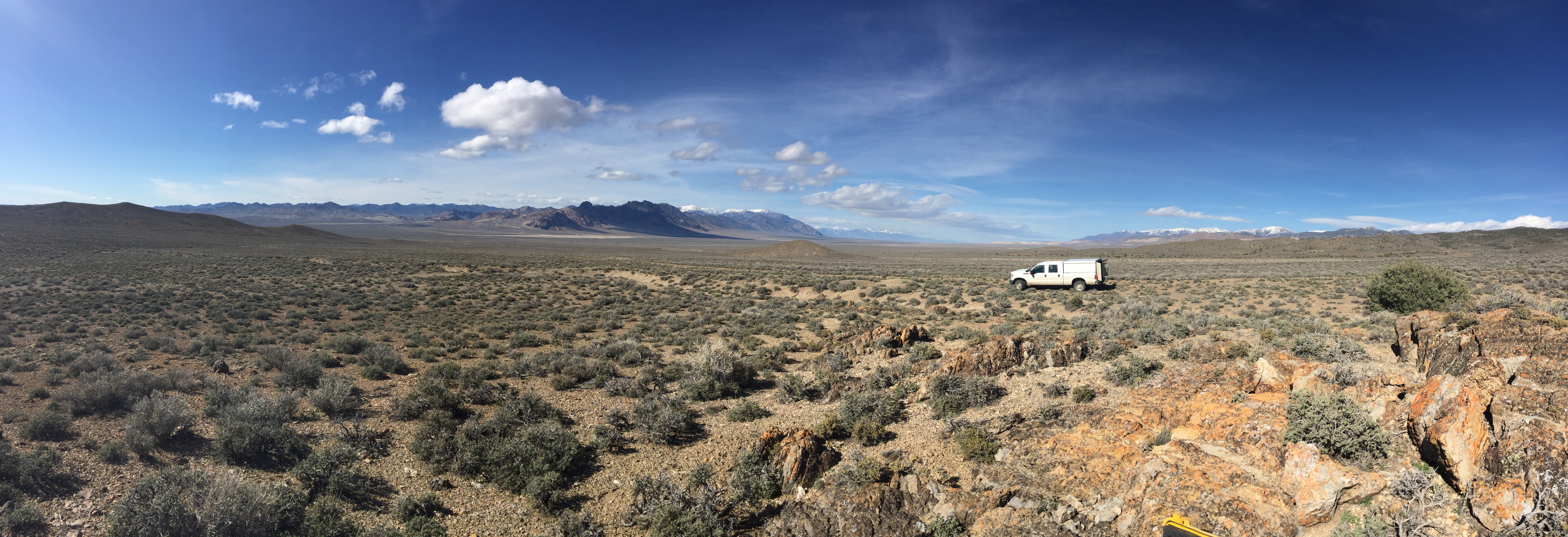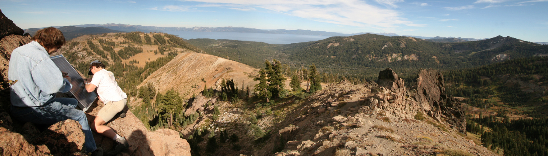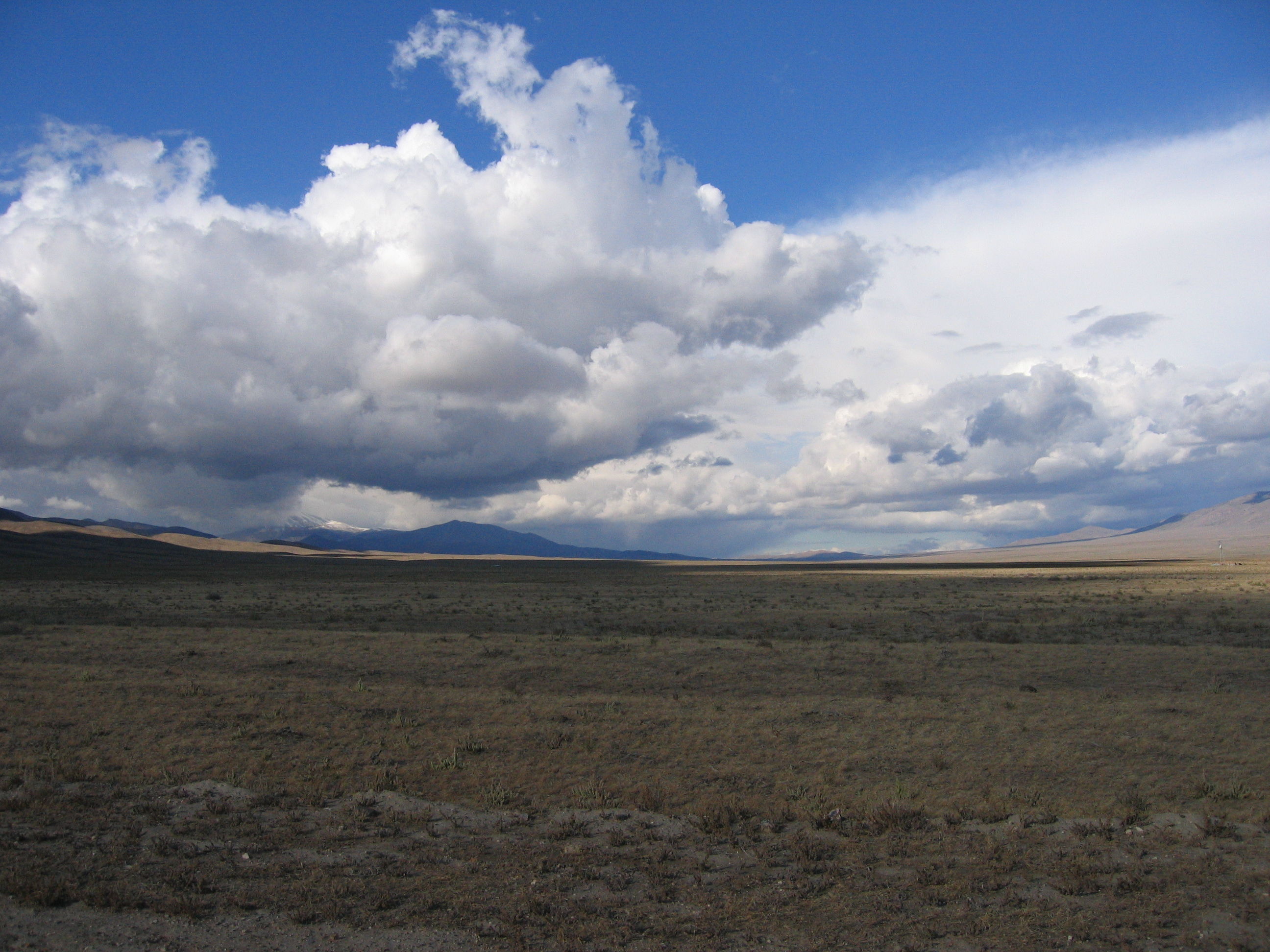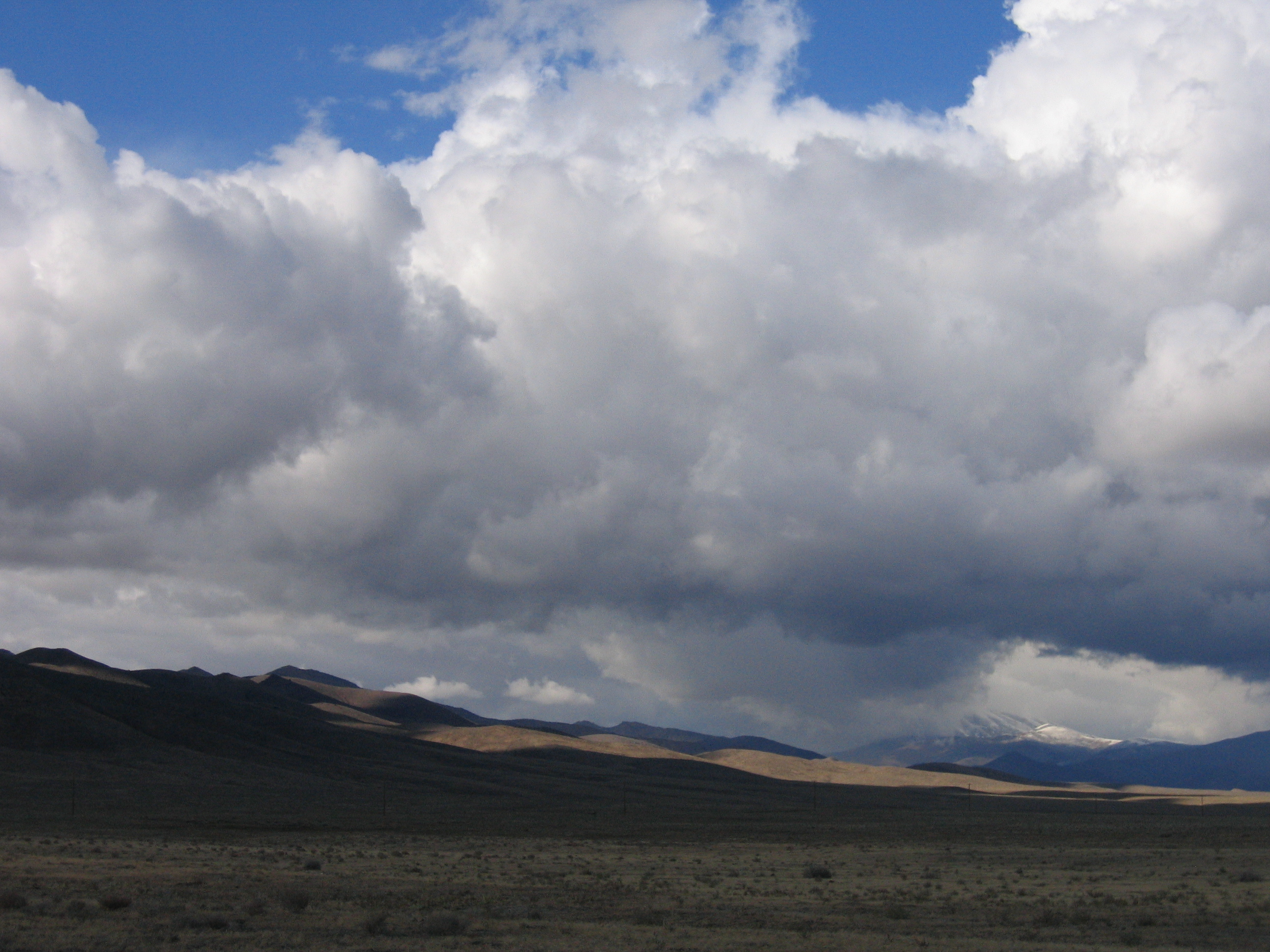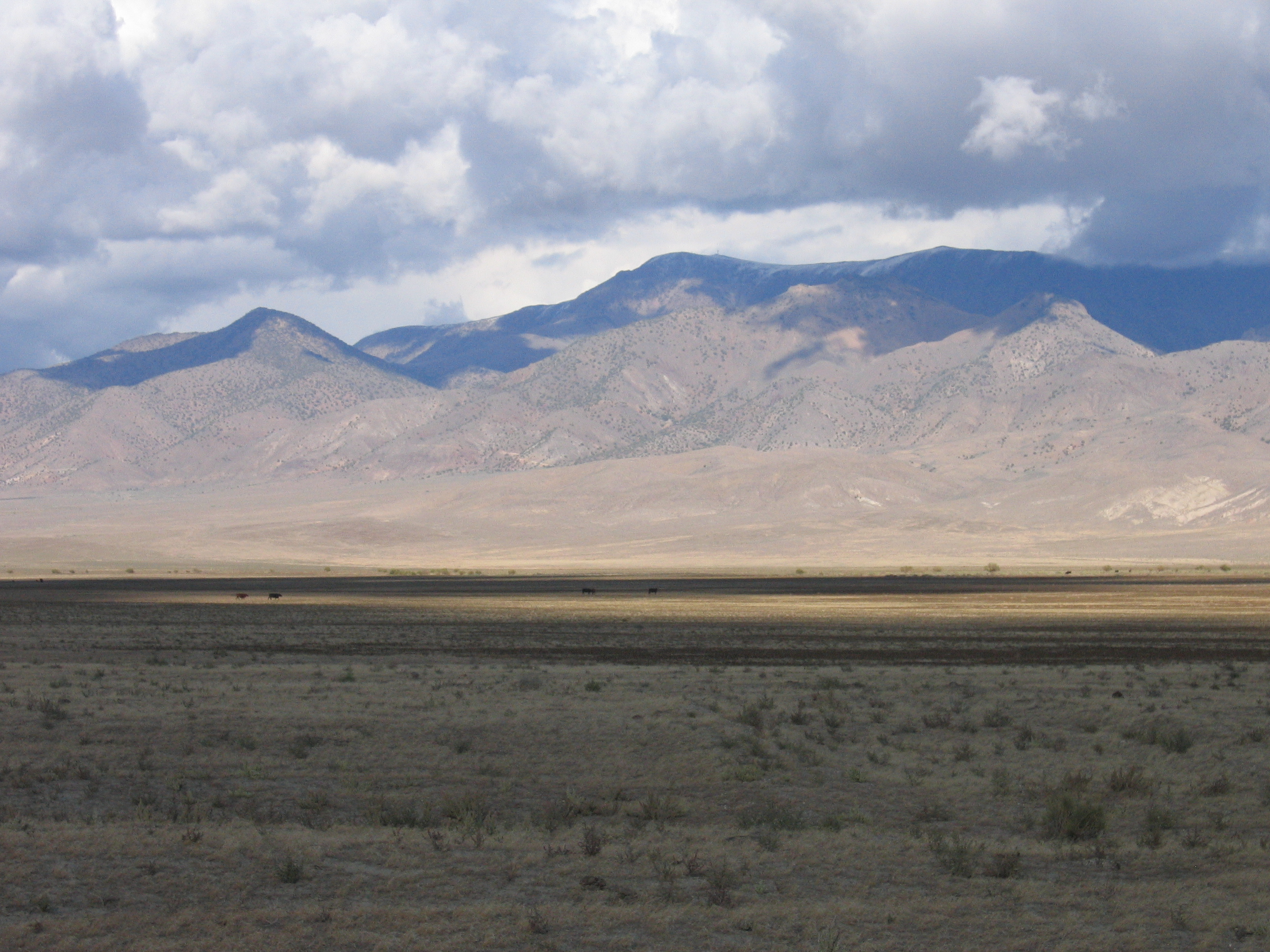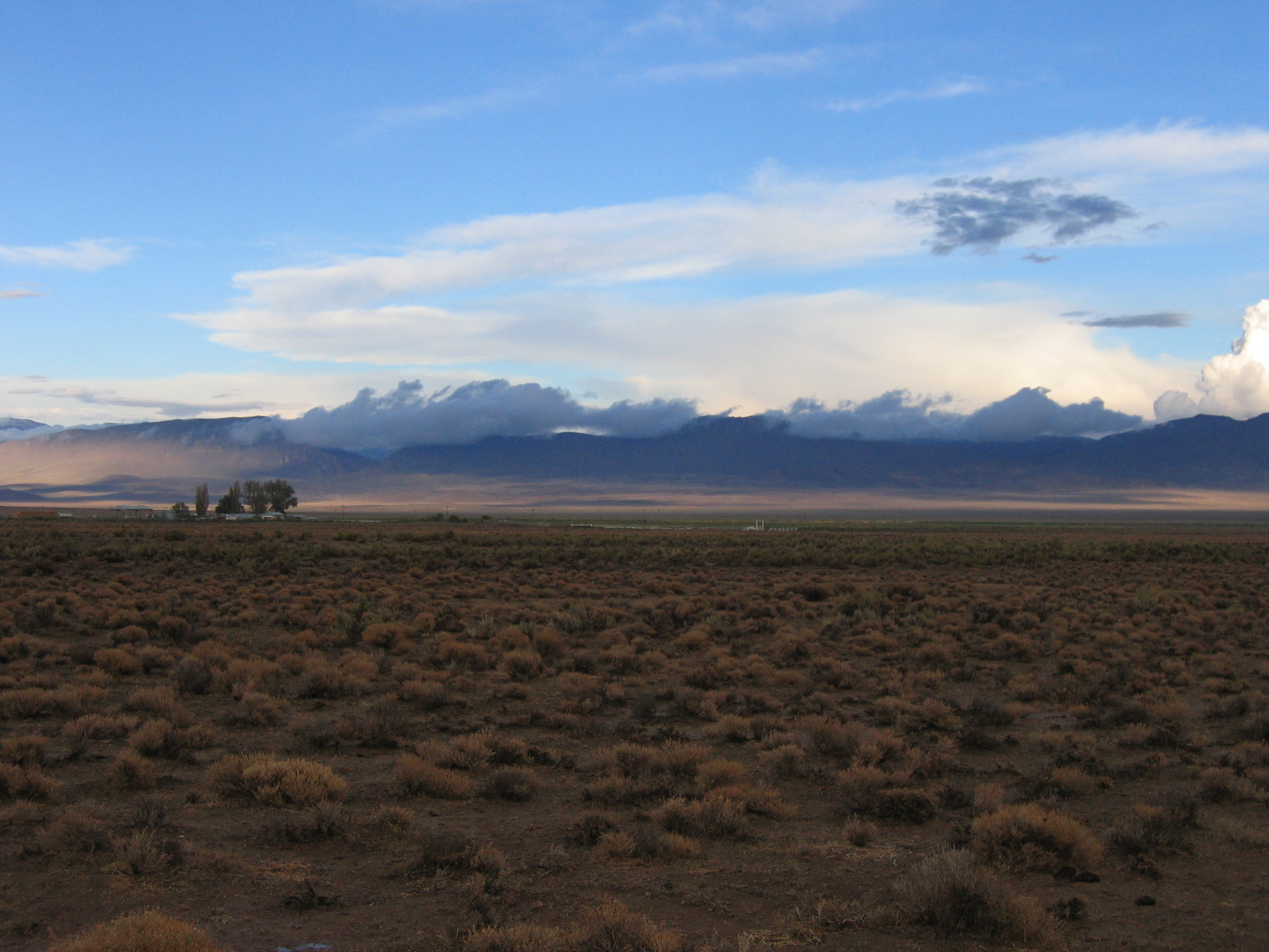
MAGNET GPS Station - Photo by Geoff Blewitt

Bill Hammond, Professor

Nevada Geodetic Laboratory
Nevada Bureau of Mines and Geology
College of Science
University of Nevada, Reno

Reno, Nevada 89557, USA

Office location: Scrugham Engineering Mines, Room 315

ORC ID#: 0000-0001-7367-9489
Office Phone: 1 (775) 784-6436
Fax: 1 (775) 784-1709
Email Bill

Some of Bill's Interests:

  • Tectonic geodesy
  • GPS and InSAR measurement of crustal deformation
  • The earthquake cycle and seismic hazards
  • Dynamics of the lithosphere
  • Vertical land motion
  • Active uplift of mountain belts
  • Loading of Earth's surface
  • Fault mechanics
  • Mantle flow
  • Seismic anisotropy and tomography
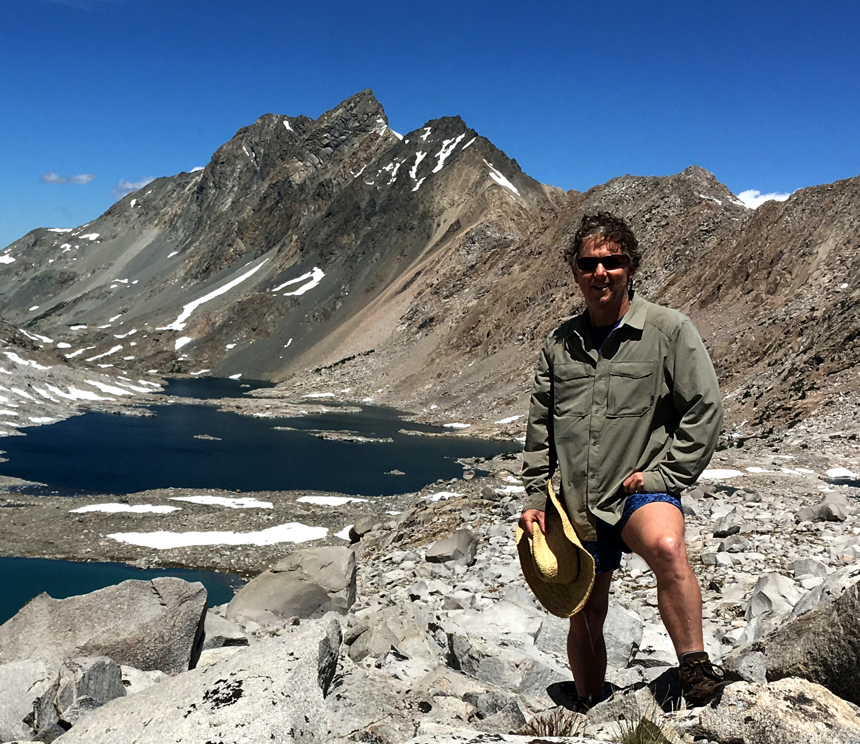
Bill Hammond and Mt. McGee

Courses

  • GPH 411/611 Geophysical Geodesy
  • GPH 455/655 Global Geophysics and Geodynamics
  • GEOL 740 Earth Science Communication
  • GEOL 701(i) GPS and InSAR data processing
  • GEOL 701(i) Western US Tectonic Framework

Also Cool:

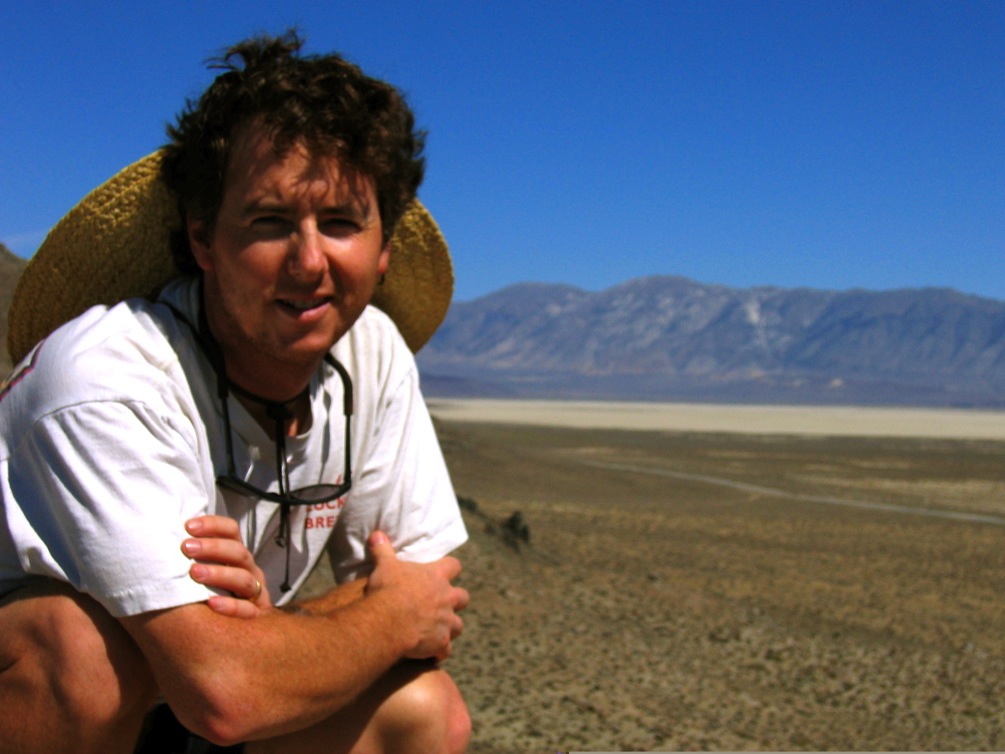
Bill Hammond at Smoke Creek Desert

Research Profiles and Publication Lists

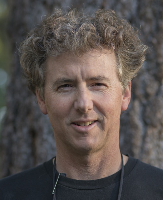
Bill Hammond's face

Research Statement

The mountains of the Basin and Range were created in response to slow distributed province-wide tectonic extension that broke the Earth's crust along fault lines. Cumulative displacement along these faults over long periods of time built, and is still building, topographic relief, i.e. the valleys and ranges of the Province. Earthquakes associated with the infrequent slip on these faults generate the seismicity felt by people who live in the Great Basin and Sierra Nevada.

In my research I precisely measure this active crustal deformation using geodetic techniques such as the Global Positioning System (GPS) and Interferometric Synthetic Aperture Radar (InSAR). From these measurements I infer the style and distribution of Earth surface deformation that is a direct consequence of continent-scale tectonic processes. My main interest is in relating these motions to the organization of seismogenic faulting, and inferring the source of stresses in the lithosphere. With geodesy we can better understand the processes that control gradual deformation of the western U.S. continental interior, and hence better understand the physics of Earth deformation and the source of potentially damaging earthquakes.
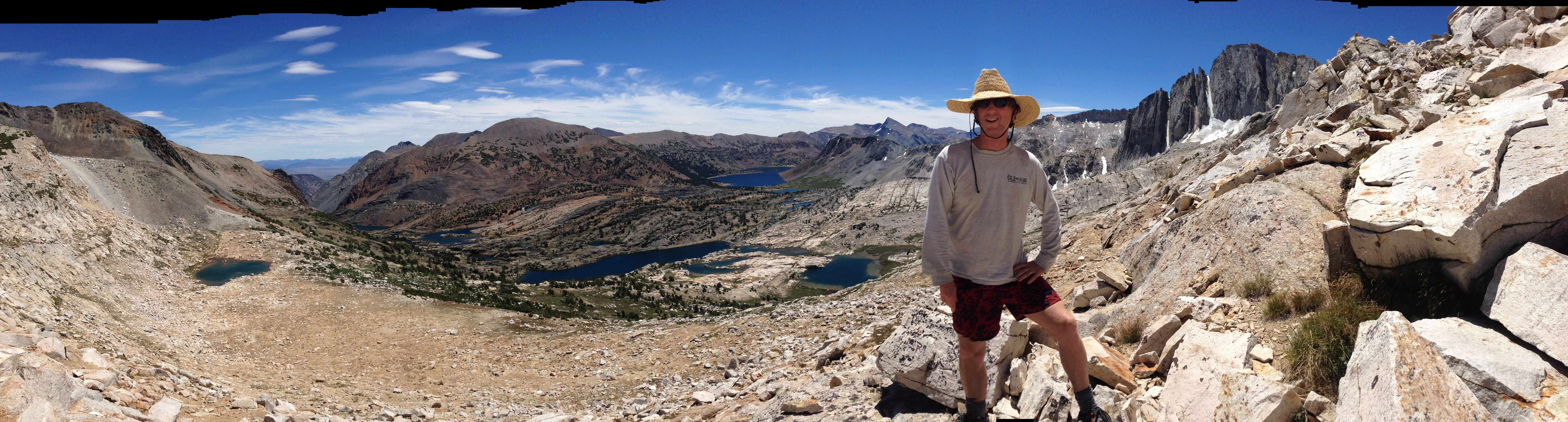
Photos from MAGNET GPS fieldwork and other adventures (loads a little slow).

photo of mountains with clouds

photo of mountains with clouds

photo of mountains with clouds

photo of mountains with clouds

photo of mountains with clouds

photo of mountains with clouds

photo of mountains with clouds

photo of basin with clouds

photo of snowy mountain with clouds

photo of sun on mountainside

photo of valley with ranch
University of Nevada, Reno
Last edited 24 September 2026.